Property Intelligence
Bring together property boundaries, tenure, mineral occurrences, geology, access, infrastructure and other relevant spatial context.
 Resource GeoIntelligence
GEOINTELLIGENCE FOR RESOURCE PROJECTS
Everything about your property, in one place your board, partners and investors can actually explore.
THE PROBLEM
Claims and tenure live in one system. Geology in another. Field observations sit in spreadsheets, photos, reports and people's heads.
Your property shouldn't require six applications and a geologist sitting beside you to understand it.
ONE PROPERTY. ONE INTELLIGENCE ENVIRONMENT.
Bring together property boundaries, tenure, mineral occurrences, geology, access, infrastructure and other relevant spatial context.
Connect samples, observations, photographs, panoramas, drone imagery and other field evidence directly to location.
Give investors and partners something they can explore themselves, instead of sitting through a slide deck. The same technical property, presented so non-technical money understands what they're looking at.
SEE IT IN ACTION
A 362.12 ha polymetallic mineral claim in British Columbia, presented as a map-first property intelligence environment.
Explore the subject claim with 11 sample locations, 22 georeferenced field photographs and four interactive panoramas on the property itself, with 43 MINFILE occurrences and 139 tenures in the surrounding area shown for regional context.
Explore Little Fort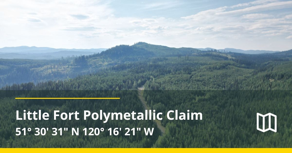 Open interactive project →
WHAT IT TAKES
A single-property GeoIntelligence build starts at $7,500 CAD and is typically live within two weeks. That includes a 2D interactive property environment with sample locations, field photography and relevant public records such as mineral occurrences and surrounding land interests.
Priced to be a non-issue against the size of the financing it's built to support.
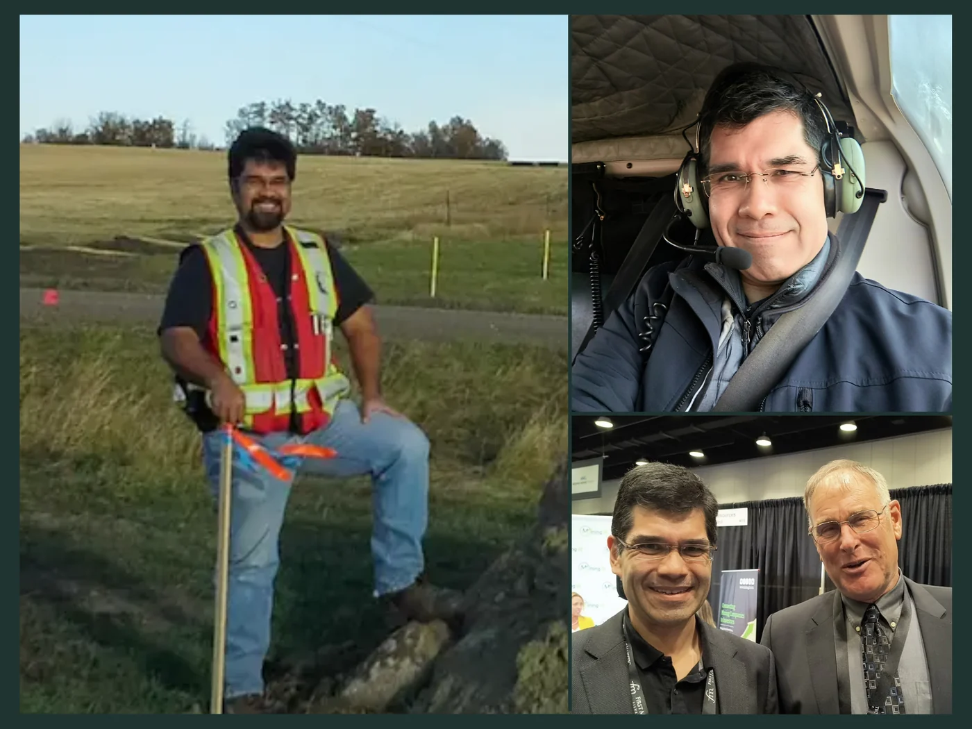
CLAYTON SMITH, CET · C5 PROJECTS
Clayton Smith is a Certified Engineering Technologist with a background in survey, land, GIS, mapping and infrastructure. He brings that experience to resource properties with a practical understanding of how location, access, terrain, infrastructure, land interests and field information shape both the challenges and opportunities around a project.
About Clayton →YOUR PROPERTY
Single-property GeoIntelligence builds start at $7,500 CAD. Your project data stays private unless you choose to share it. Book a short call and we'll quickly determine whether your property is a fit and what it would take to build.